At PSSPL, we have deep-rooted expertise in all aspects of drone technology. Our team of skilled engineers, technicians, and pilots are well-versed in designing, building, and deploying drones for various industries. We have successfully implemented drone solutions in sectors such as agriculture, Mapping, Surveillance, infrastructure inspection, cinematography, and more. Whether it's customizing drones to meet specific requirements or developing cutting-edge applications, we deliver tailored solutions that optimize efficiency, productivity, and safety.

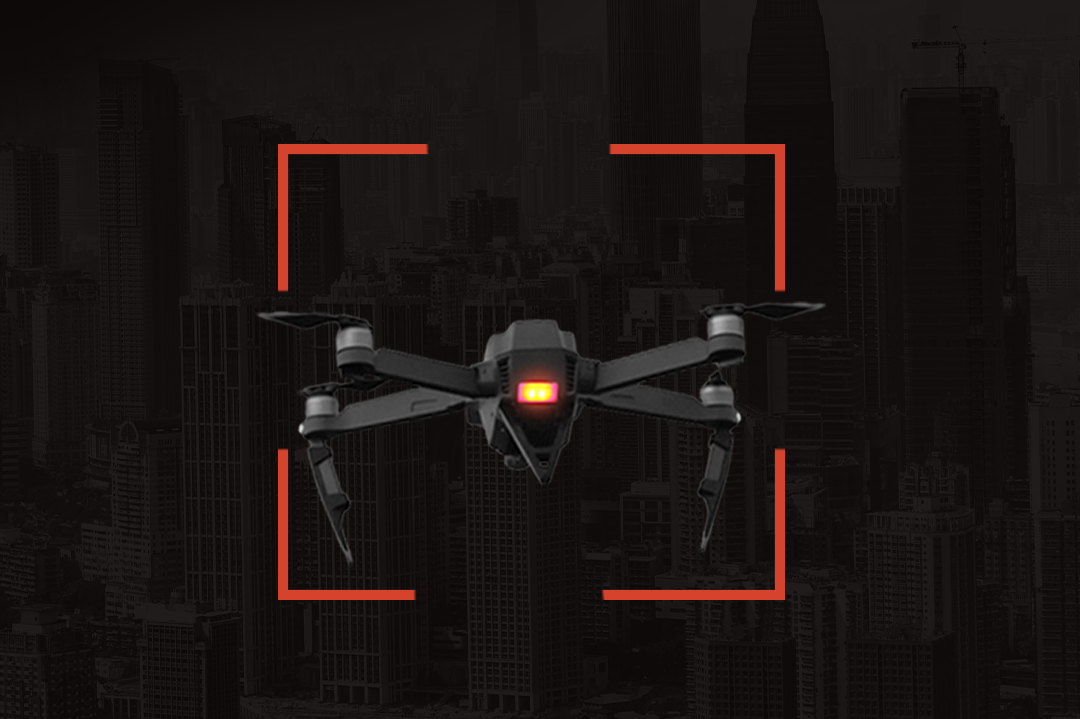
With the proliferation of drones, ensuring airspace security has become a paramount concern. Our company specializes in anti-drone technologies and solutions to protect critical infrastructure, events, and high-value establishments from unauthorized drone activities. Leveraging state-of-the-art drone detection systems, we provide comprehensive solutions that combine radar, radio frequency sensors, and artificial intelligence algorithms to accurately detect, track, and identify drones. Our expertise extends to anti-drone systems utilizing jamming or spoofing techniques to neutralize potential threats and safeguard sensitive areas.
Harnessing the power of artificial intelligence, we leverage advanced algorithms and machine learning techniques to enhance drone operations and data analysis. Our AI-driven solutions enable autonomous flight, intelligent object recognition, and real-time data processing. By integrating AI into our drone systems, we enable more efficient decision-making, automated data collection, and actionable insights, empowering businesses to make informed choices and drive operational excellence.


At PSSPL, we recognize the importance of geospatial intelligence in optimizing drone operations and extracting valuable information from aerial data. With our expertise in GIS (Geographic Information System) and remote sensing, we provide comprehensive geospatial solutions to capture, process, and analyse drone-derived data. Our team combines cutting-edge mapping software, satellite imagery, and drone data to generate high-resolution maps, 3D models, and accurate geospatial information. This enables industries such as agriculture, urban planning, environmental monitoring, and infrastructure management to make data-driven decisions with precision and efficiency.